The Address That Made the City Legible
House numbers made services scalable and residents locatable—opening a path to inclusion, administration and surveillance.
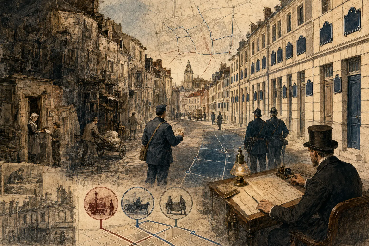
Street addressing made urban residents easier to reach—and easier for institutions to map, administer and observe. Then and Therefore Editorial Team. Conceptual editorial image generated for this article; it is not documentary evidence.
European and American cities adopted numbering through military, tax, police, postal and directory systems rather than one public-navigation invention.
Why This Matters
An address looks like a description. It is actually a command that a system can execute.
Write a street name and number on an envelope and postal workers can route it across a country. Enter the same address into a dispatch system and an ambulance can find a door. Banks, utilities, tax offices, delivery firms and digital maps can connect records to one place. A few standardized lines make a city operational at scale.
That convenience has a history. European house numbering spread during the eighteenth century not simply to help lost visitors, but through military billeting, taxation, policing and administrative reform. Postal systems later made addresses essential to mass communication. Modern emergency response, credit and e-commerce deepened the dependence.
The same mechanism that helps services reach a resident also helps states and firms locate, classify and monitor that resident. And once an address becomes a prerequisite for identification, banking, voting or benefits, people without a recognized one can become administratively invisible.
The address made the city legible. Legibility is useful. It is never innocent.
Before standardized numbering, urban places were found through names, signs, landmarks, occupations and local memory. A letter might be directed to a person near a church, opposite an inn or beside a known shop. In a small community, the apparent vagueness was workable because delivery depended on people who understood the local social map.
Growth strained that method. Cities accumulated streets with repeated names, subdivided properties and residents unknown to every courier. Governments also wanted more systematic ways to count households, quarter soldiers, collect taxes and enforce regulations. A location known socially was not always a location that an administration could sort.
Historian Anton Tantner’s research on European house numbering places many early systems in the borderland between military, police and fiscal administration. In eighteenth-century cities, numbers could help officials enumerate buildings and inhabitants, allocate troops or trace obligations. Residents sometimes resisted because numbering signaled intrusion. A mark on the house announced that a central authority had converted the dwelling into a record.
The systems were not uniform. Some cities numbered houses consecutively across an entire district. Others followed streets. Numbers could change after annexation or rebuilding. Odd and even conventions, block systems and distance-based numbering emerged at different times. The result we now call an address is a layered standard, not one invention.
Postal expansion changed the balance of purposes. Britain’s Postal Museum notes that house numbering became essential for reliable delivery but remained inconsistent for a long time. Postal workers had to navigate duplicate street names, renumbering and houses whose occupants preferred names to numbers. Directories and maps helped stabilize the connection between a written address and a physical door.
Philadelphia offers an early American example. Clement Biddle’s 1791 directory applied a systematic street-numbering proposal after he had worked on the first United States census. The connection is revealing: population counting and location coding were neighboring administrative problems. Both asked how a growing city could be translated into records that strangers could use.
Washington, D.C., despite its planned grid and named streets, relied heavily on descriptive addressing until the late nineteenth century. Local history shows that letters could still depend on landmarks and institutions. A geometric plan did not automatically produce an executable address. Numbering, enforcement, signage, directories and public adoption had to join the map.
Modern systems added layers. Postal codes grouped destinations for machine sorting. Property registries linked parcels to ownership. Telephone and utility databases connected service accounts to premises. Emergency systems required addresses that could be validated and dispatched. Digital navigation then converted the address into coordinates and routing instructions.
Each layer solved a different problem. This is why an address cannot be reduced to a house number. It is an agreement among street authorities, postal operators, mapmakers, property systems and residents. When those records disagree, the building has not moved; the institution has lost its grip on the location.
Standardized location expanded civic coordination and institutional reach while making recognized addresses prerequisites for modern life.
Therefore
Standardized addresses enlarged the radius of trust. A sender no longer needed to know the route or the carrier. A business could invoice a distant customer. A city could dispatch services without relying entirely on neighborhood knowledge. Location became portable information.
That portability supported public goods. Firefighters and ambulances gained faster routes. Water, electricity and waste systems could organize accounts. Census workers and election officials could define areas. Property transfers became easier to document. In modern logistics, address validation helps determine whether a package can travel through automated networks.
But legibility also expanded administrative reach. Police could search registers. Tax authorities could connect persons, property and obligations. Credit agencies and advertisers could classify neighborhoods. The address became a key that allowed datasets created for different purposes to be joined.
The important distinction is between being locatable for a service and being continuously traceable by institutions. The first can save a life. The second can expose a household to surveillance, discrimination or unwanted commercial inference. The technical format is the same; governance determines the use.
Formal addressing also creates an edge. Informal settlements, rural communities, people living in vehicles, refugees and unhoused residents may lack an address recognized by mainstream systems. Even when a dwelling can be found physically, its location may fail validation because the database expects a standardized street, number and postal code.
That failure can cascade. Without an accepted address, opening a bank account, receiving identification, registering for school, obtaining insurance or accessing benefits may become harder. A tool built to include every property can exclude people whose homes do not fit the model.
There is another form of loss. Locally meaningful place names and relational directions carry history. Standardization can flatten them into an official vocabulary. This does not make numbering inherently oppressive; it means administrative efficiency has cultural and political costs that are easy to ignore once the system works.
The address therefore has a double character. It is a civic interface and a surveillance handle, a path to inclusion and a gate that can deny it.
Digital addressing should support correction, privacy, people in transition and local place knowledge instead of treating total visibility as justice.
What Next
The next generation of addressing is moving beyond streets. Coordinate systems, plus codes, what3words-style grids and national digital-address projects aim to locate places where conventional numbering is weak. They can support emergency response, deliveries and land administration. They can also repeat old mistakes if adoption, data ownership and error correction are treated as technical afterthoughts.
A durable addressing system should meet four tests.
First, it should help people receive essential services without forcing them to surrender unnecessary data. A dispatch system may need a location; it does not automatically need every commercial profile connected to it.
Second, residents need a way to correct records. An address error copied across databases can become a bureaucratic trap. The person at the door should not be less authoritative than a stale entry.
Third, systems should support people in transition. Proof-of-address rules can punish exactly those who most need services: people escaping violence, moving after disaster or living without secure tenure.
Fourth, local knowledge should remain usable. Standard coordinates and neighborhood names need not be enemies. A resilient city keeps more than one way to describe where someone is.
The city became legible because institutions learned to agree about location. The challenge now is to preserve the benefits of that agreement without mistaking perfect visibility for justice. A person should be easy to reach when help is coming—and difficult to exploit simply because the system knows where the door is.
A person should be easy to reach when help is coming—and difficult to exploit simply because a database knows the door.
References
Sources are listed in Harvard author–date format. Links are provided where a stable public record is available.
- Tantner, A. (2009) ‘The Introduction of House Numbering in Europe’, Histoire & mesure, XXIV-2.
- The Postal Museum (2021) ‘The history of house numbering’.
- The Encyclopedia of Greater Philadelphia (n.d.) ‘Street Numbering’.
- Scott, J.C. (1998) Seeing Like a State. New Haven: Yale University Press.
Further reading
- Tantner, A. (2009) ‘The Introduction of House Numbering in Europe’, Histoire & mesure, XXIV-2.
- The Postal Museum (2021) ‘The history of house numbering’.