When Continents Began to Move
Continental drift became plate tectonics only when the ocean floor supplied a mechanism, a clock and a global pattern.
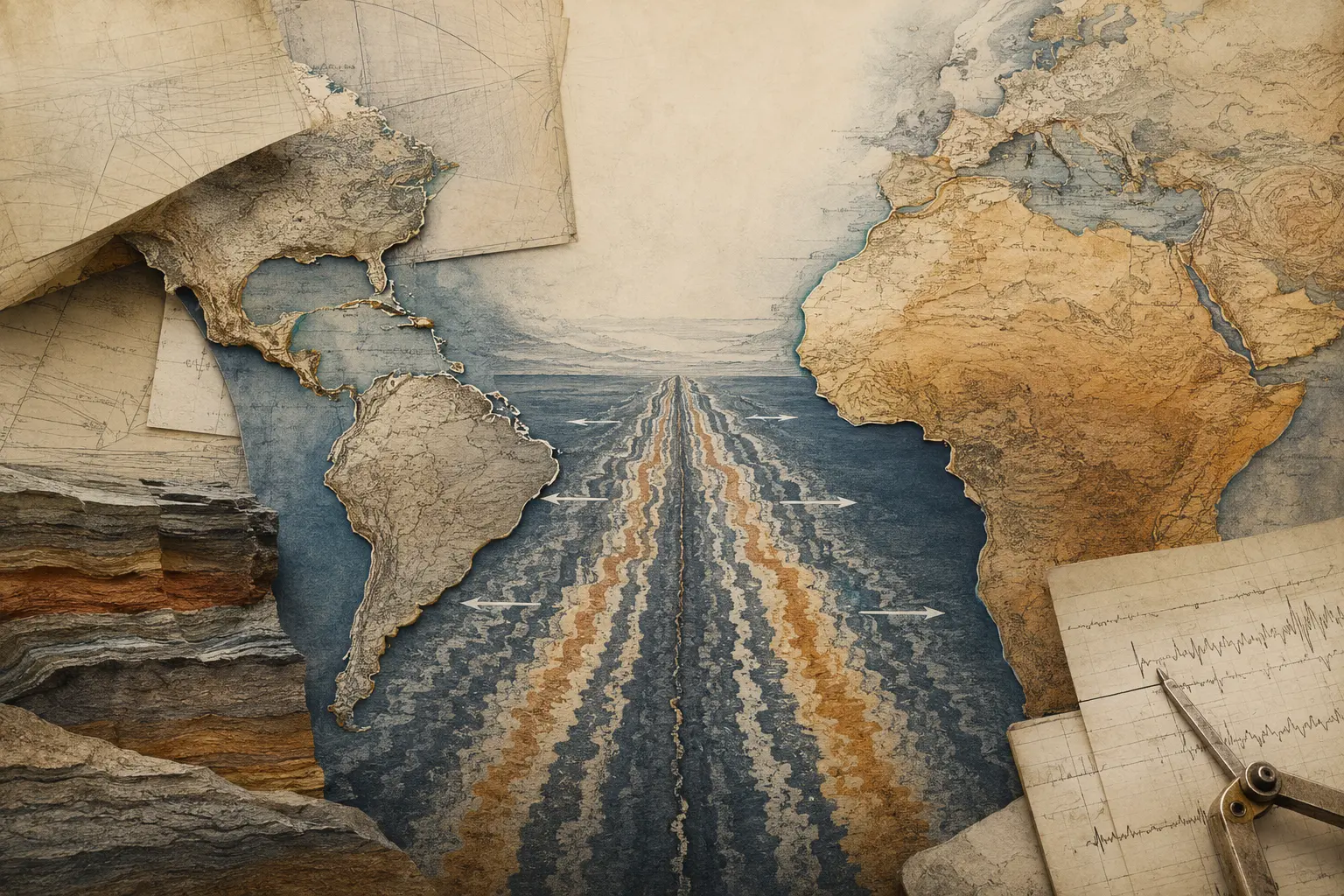
Matching continental margins and mirrored magnetic bands helped transform continental drift from a disputed idea into plate tectonics. Then and Therefore Editorial Team. Conceptual editorial image generated for this article; it is not documentary evidence.
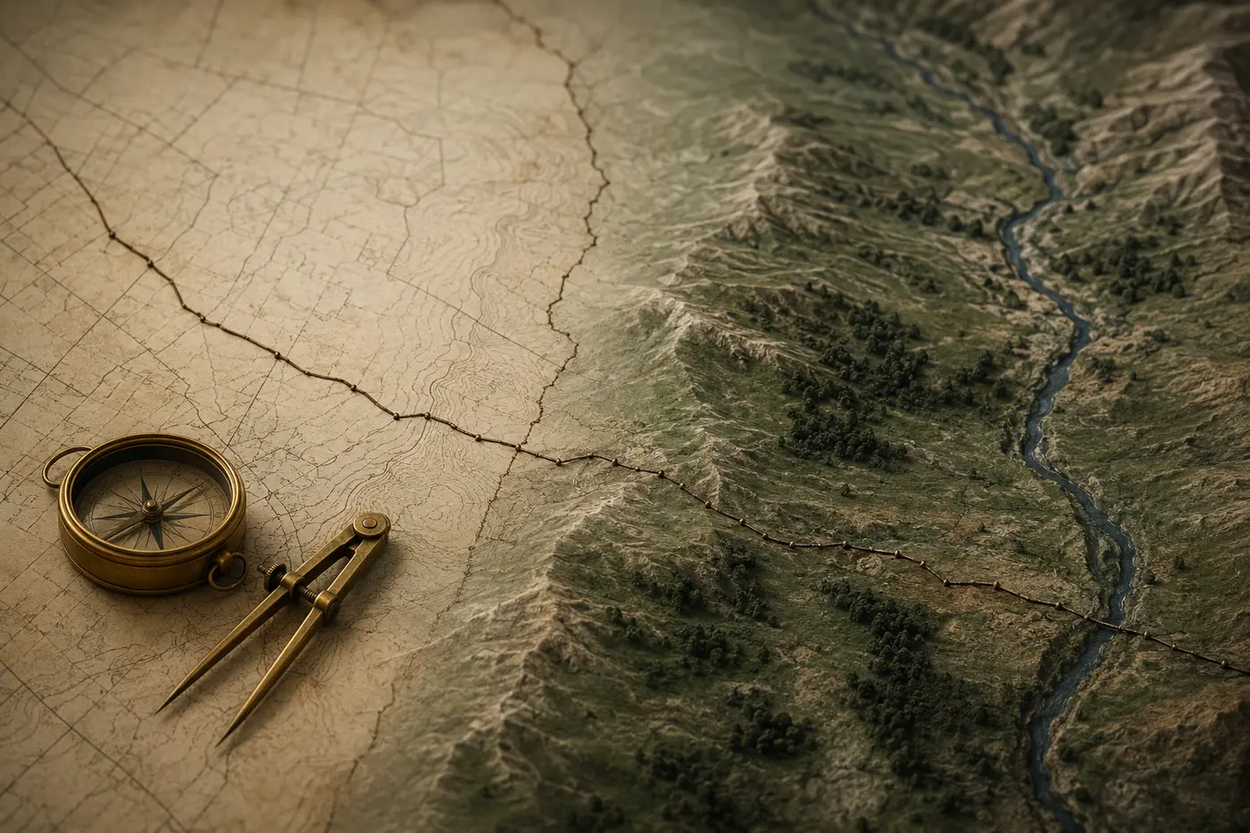
Wegener assembled fossils, rocks and climate clues into continental drift but lacked a workable physical mechanism.
Why This Matters
Look at a map long enough and the Atlantic begins to look less like an ocean than a tear. The eastern edge of South America seems to answer the western edge of Africa. Mountain belts, fossil beds and ancient rocks appear to continue across the water.
That resemblance is powerful. It is also not enough.
Alfred Wegener assembled the most famous early twentieth-century argument that continents had once been joined and later drifted apart. He compared coastlines, fossils, geological structures and evidence of past climates. His reconstruction of a former supercontinent—eventually called Pangaea—gave Earth history a new kind of motion.
Yet most geologists did not accept continental drift in Wegener’s lifetime. The usual explanation is that a visionary was rejected by a stubborn establishment. There is truth in the first half and too little history in the second. Wegener’s evidence pointed toward mobility, but he lacked a convincing physical mechanism. His estimates and proposed forces were vulnerable. More importantly, the ocean floor—the place where much of the decisive evidence would later be found—was still poorly mapped.
Continents did not begin moving when scientists agreed that they moved. The change was in what could be measured.
By the 1960s, sonar surveys, earthquake records, ocean drilling and magnetic measurements had made the seafloor legible in a new way. Long mountain chains ran through the oceans. Earthquakes and volcanoes outlined narrow belts. Stripes of normal and reversed magnetism formed roughly symmetrical patterns on either side of mid-ocean ridges. Ocean crust became older away from those ridges and disappeared into deep trenches.
Those findings did more than revive Wegener. They produced a broader theory: plate tectonics. Continents were not isolated rafts plowing through fixed ocean crust. They were passengers within moving lithospheric plates whose creation, motion and destruction connected oceans and continents in one system.
The distinction matters because good ideas do not win through resemblance alone. They become durable when independent evidence begins to agree.
The possibility that continents had changed position did not begin with Wegener. Mapmakers and naturalists had noticed complementary coastlines for centuries, and nineteenth-century geologists proposed land bridges or vanished continents to explain related fossils on separated landmasses.
Wegener’s contribution was to assemble several clues into a sustained global argument. Beginning in 1912 and expanding it in later editions of *The Origin of Continents and Oceans*, he proposed that the continents had once formed a larger whole and had drifted to their present positions.
The familiar coastline fit was only the opening image. Wegener emphasized fossils of the same organisms found on continents now divided by oceans. He compared rock formations and mountain chains that appeared to continue across the Atlantic. He pointed to glacial deposits and scratches in regions now too warm for large ice sheets, and to coal or other climate indicators in places whose present latitude seemed wrong for their formation.
Reassemble the southern continents, and several puzzles became one pattern. Fossil distributions no longer required a series of hypothetical land bridges. Glacial traces could be placed around a former polar region. Geological structures on opposite sides of the Atlantic could be read as pieces of older systems.
But a historical reconstruction also needs a process. Wegener suggested that continents moved through oceanic crust under forces related to Earth’s rotation and tides. These forces were far too weak, and the idea of continents forcing their way through a rigid seafloor was physically unpersuasive. Seismology also suggested a more complex Earth than the simple sliding blocks in popular diagrams.
Criticism was therefore not merely resistance to novelty. Some geologists accepted parts of Wegener’s synthesis while rejecting his mechanism. Others argued that the apparent fit depended on which coastline was chosen, or that geological similarities did not uniquely establish drift. The evidence was suggestive, but the system that could make it work was missing.
The next stage came from the oceans.
During and after the Second World War, naval and scientific programs gathered large quantities of bathymetric, seismic and magnetic data. Sonar revealed that the seafloor was not a featureless basin. A global network of mid-ocean ridges crossed the planet, while deep trenches marked other margins. Heat flow was unusually high near ridges. Earthquake depths changed in systematic ways beneath island arcs.
In the early 1960s, Harry Hess and Robert Dietz developed the idea of seafloor spreading: new oceanic crust forms at ridges, moves outward and is eventually consumed at trenches. This supplied a circulation pattern that Wegener had not possessed. Continents need not bulldoze through stationary ocean crust; ocean and continent could move together as parts of larger plates.
Magnetic evidence made the proposal testable.
When basalt cools, magnetic minerals can align with Earth’s magnetic field. The field has reversed polarity many times, so successive bands of seafloor can preserve alternating magnetic orientations. Surveys had detected striking magnetic stripes, but their meaning was not immediately clear. In 1963, Fred Vine and Drummond Matthews—and independently Lawrence Morley—connected the stripes to seafloor spreading and geomagnetic reversals.
If new crust formed along a ridge and moved outward on both sides, it should record a roughly symmetrical sequence of magnetic bands. That is what surveys found. The stripes were not simply another clue that continents might fit. They were a record of a process operating through time.
Ocean-floor ages supplied another check. The youngest crust lies near spreading ridges; older crust is found farther away. Very little ocean floor is older than about 200 million years because it is recycled through subduction. Continents can preserve much older rocks, which helps explain why the geological archives of land and ocean look so different.
Earthquakes added geometry. Their global distribution traced plate boundaries. Shallow events followed ridges and transform faults; inclined zones of progressively deeper earthquakes marked slabs descending beneath arcs. Volcanoes, trenches, ridges and seismic belts could now be interpreted as related features rather than separate catalogues.
No single cruise or scientist delivered the finished theory. Marie Tharp’s seafloor mapping helped reveal the rift valley along the Mid-Atlantic Ridge. Bruce Heezen, Hess, Dietz, Vine, Matthews, Morley, John Tuzo Wilson, Dan McKenzie, Robert Parker, Jason Morgan and many others contributed different pieces. Oceanographic institutions, naval funding, global instrument networks and improved dating methods made their synthesis possible.
By the end of the 1960s, plate tectonics offered a framework that could explain continental motion, seafloor creation, subduction, mountain building, many earthquake patterns and the distribution of volcanoes. The theory did not merely vindicate Wegener. It changed the object under discussion.
Ocean mapping, seafloor spreading, magnetic reversals and earthquake geometry converged into plate tectonics.
Therefore
The shift from continental drift to plate tectonics is often used as a parable about being right too early. That lesson is attractive, but incomplete.
Wegener was right that continents had moved and that their past positions could explain connected evidence. He was not simply in possession of the modern theory before everyone else. Plate tectonics depended on a different model of Earth’s outer shell, new evidence from the oceans and mechanisms that could be tested across several disciplines.
That is how many scientific transformations work. A proposal can be insightful yet underdetermined. Critics can be reasonable about its weaknesses even when later evidence supports its central intuition. Acceptance changes when a theory begins to make different observations cohere and when it generates risky predictions that survive testing.
Plate tectonics also shows the value of evidence that was collected for other purposes. Magnetic surveys conducted partly for naval needs, earthquake monitoring, ocean mapping and drilling programs did not begin as a single campaign to prove continental drift. Their results converged.
Convergence matters because each line of evidence has limitations:
- Coastline fit depends on how continental margins are defined. - Similar fossils can establish former connection but not by themselves specify the mechanism. - Magnetic stripes require a chronology of reversals and a model of crust formation. - Earthquake belts reveal active boundaries but not every detail of past motion. - Present plate velocities do not automatically reconstruct hundreds of millions of years.
Together, however, they constrain one another. A proposed plate history must agree with magnetic anomalies, rock ages, fossils, structural geology and the geometry of boundaries. The theory gains strength not because every observation is perfect, but because independent imperfections point toward the same moving system.
Today, satellite geodesy can measure plate motion directly at rates of centimeters per year. That does not make every tectonic question settled. Researchers still debate how plates begin, how mantle convection and plate forces interact, how continents deform internally and how ancient configurations should be reconstructed. Plate tectonics is a framework for asking those questions, not a declaration that Earth has no mysteries left.
The theory also changed practical knowledge. Earthquake and volcanic hazards are not predictable in the simple sense of naming an exact future time, but plate boundaries explain why risk concentrates where it does. Mineral systems, mountain belts and sedimentary basins can be interpreted within long histories of collision, rifting and subduction.
In other words, a theory about deep time became a way to read the living planet.
Keep anomalies visible, separate claims from mechanisms and look for independent methods that constrain one another.
What Next
The most useful lesson from continental drift is not “believe every outsider.” Most rejected ideas are not future revolutions. Nor is the lesson that institutions always resist truth. Scientific communities are supposed to demand mechanisms, comparisons and evidence strong enough to distinguish one explanation from another.
The better lesson is to keep anomalies visible.
Before plate tectonics, fossils across oceans, mountain-chain continuities and seafloor features did not all fit comfortably into one fixed-Earth account. Wegener made some of those tensions harder to ignore. Later instruments moved the debate from suggestive pattern to measurable process.
That sequence offers four habits worth carrying elsewhere.
First, separate a claim from its proposed mechanism. A person may identify a real pattern while explaining it badly. Rejecting the mechanism need not require discarding the observation.
Second, look for evidence that comes from independent methods. When maps, physical measurements, chronology and live observations agree, coincidence becomes less plausible.
Third, remember that tools change what theories can compete. The ocean floor had always contained magnetic stripes. They became decisive only when ships, magnetometers, reversal chronologies and a model of spreading made them readable.
Finally, allow successful theories to be larger than their precursors. Plate tectonics did not win because scientists finally admired the fit of two coastlines. It won because the planet’s ridges, trenches, earthquakes, fossils, rocks and magnetic memory could be understood as parts of one dynamic system.
The continents had been moving all along. What changed was our ability to see the machinery beneath the map.
Plate tectonics did not merely vindicate Wegener; it replaced a moving-continent proposal with a moving-plate system.
References
Sources are listed in Harvard author–date format. Links are provided where a stable public record is available.
- U.S. Geological Survey (n.d.) ‘This Dynamic Earth: Background Information’.
- U.S. Geological Survey (n.d.) ‘Wegener’s Puzzling Evidence’.
- U.S. Geological Survey (n.d.) ‘Rocks and Paleomagnetics Laboratory’.
- NOAA Ocean Exploration (n.d.) ‘Soundings, Sea-Bottom, and Geophysics’.
- NOAA Science On a Sphere (2023) ‘Age of the Seafloor’.
- NOAA Ocean Exploration (2024) ‘What is a mid-ocean ridge?’.
Further reading
- U.S. Geological Survey (n.d.) ‘This Dynamic Earth: Background Information’.
- U.S. Geological Survey (n.d.) ‘Wegener’s Puzzling Evidence’.